 Image 1 of 1
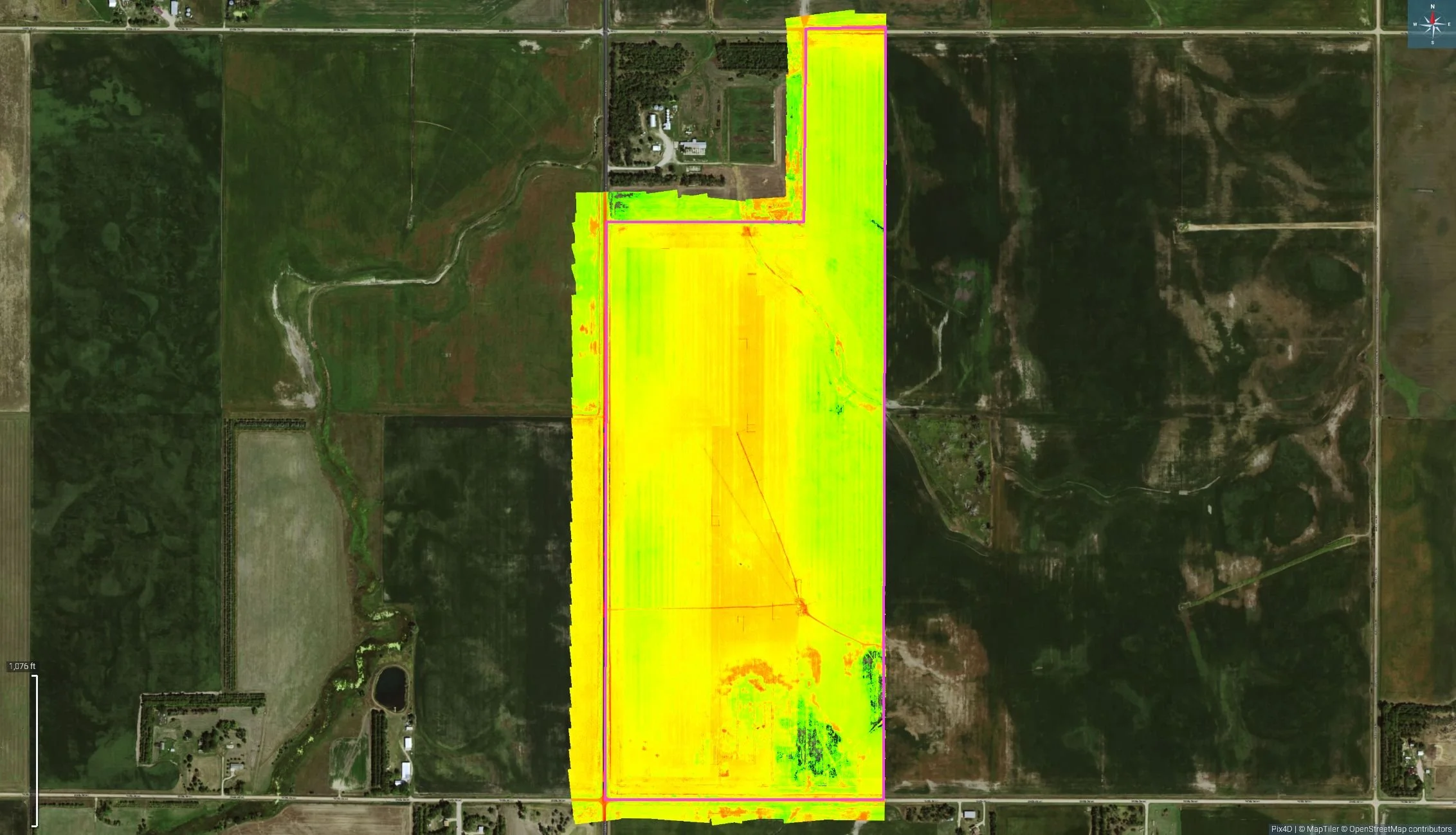
Our drone mapping and crop scouting services provide high-resolution aerial imagery to help farmers monitor field conditions quickly and accurately. Using advanced sensors and data analysis, we identify problem areas such as stress, disease, drainage issues, and weed pressure—allowing for faster, more informed management decisions.
Our drone mapping and crop scouting services provide high-resolution aerial imagery to help farmers monitor field conditions quickly and accurately. Using advanced sensors and data analysis, we identify problem areas such as stress, disease, drainage issues, and weed pressure—allowing for faster, more informed management decisions.